May has been about getting myself back into hiking shape. I started the month by taking Heather out to see Cripple Cove for the first time. There was no talk of rope-assisted climbs or kilometers of dirt road, which Heather tells me would have led to a veto of the activity. It was for the best as this is can’t-miss trail IMHO! Anyhow, we had a heck of a day, saw a bald eagle (or two), one of which chased a smaller, unidentified bird of prey away from a perch which could have been a nest: I consistently see bald eagles near Cripple Cove and so I assumed they were nesting in the area. A few pics from the Cripple Cove leg of the White Horse Path; more hike talk below:

Back Cove at the start of the White Horse Path, with Cape St. Francis on the east side.

The starrigan field just past the rope-assisted climb. I’m not sure of Heather agreed it was worth it, but she enjoyed seeing them!

The first view of the Cripple Cove rocks from the east end of Big Cove.

This rock formation that the trail climbs past is fascinating to me.

Looking down towards Cripple Cove from high above Big Cove. Marked is the location of the perched eagle in the next picture… I suspect this is the location of a nest.

Circled is the eagle. Not a great pic but he was a ways away.

Cripple Cove rocks up close.

On the way back out over the Cape St. Francis road, we noticed this phenomenon in a marshy patch alongside the road. Not sure how visible it is, but there is a steam/fog rising from the water, most visible in the top left of the picture. Pretty crazy… right mix of temperatures and sunlight is my guess, evaporation and quick condensation!
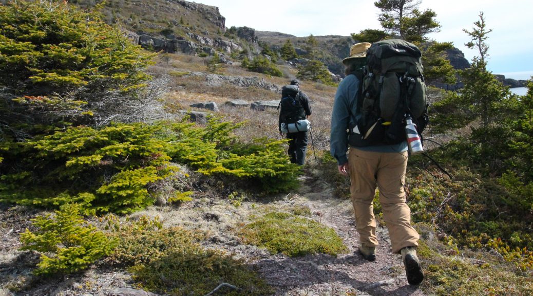
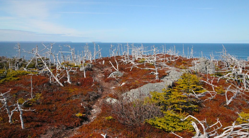
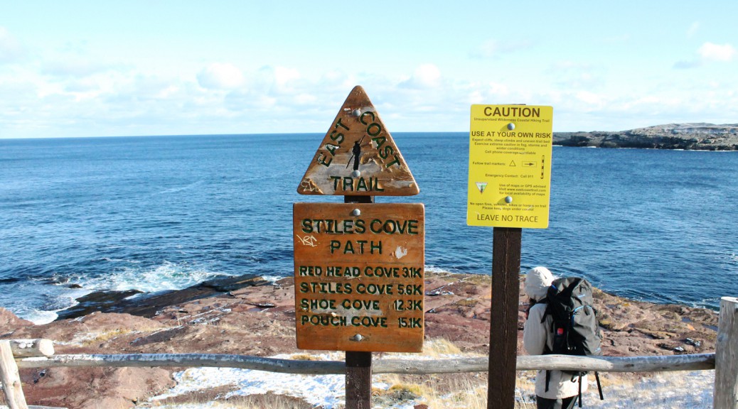
I experienced some knee pain at the end of that hike so along with an exercise/stretch regimen I decided to make the next few flat: my issue is “hiker’s knee,” which flares up when too much strain is put on the knees walking downhill. The next one for me, then, would be the first few kilometers of the Stiles Cove Path as far as Shoe Cove. This is mostly flat with one glaring exception on the approach to Shoe Cove itself. I felt a little tinge but it was a spectacular day and overall my knees held up.
There is a moose carcass at Shoe Cove, it is somewhat decomposed at this point but some folks would probably still find it a little unpleasant. It’s in the middle of the beach and is hard to miss. Kind of sad and gross in this prime hiking destination; I understand that it’s the circle of life etc. but some folks are going to be turned off from Shoe Cove which is sad because IMHO it’s one of the highlights of the ECT. Pics and more discussion below, WARNING, there is a pic of the moose carcass:

A flock of starlings in Pouch Cove. Beautful, big blue skies.

Still some patchy snow from the most recent storm. Likely melted at this point.

The destruction a couple of kilometers in actually crosses the trail. Again, it’s time we protect the coastline and the trail the way the Appalachian Trail is protected.

Shoe Cove Island in the distance.

Beautiful, clear water.

The remains of a small moose at Shoe Cove.

Shoe Cove with the moose clearly visible on the left hand side of the picture.

Returning to beautiful Pouch Cove.
Next up was the north end of the Cape Spear Path. I was disappointed to see very clear mountain bike tracks on the trail. Bikes are clearly prohibited on this section of trail and as you can see there is a clear impact on the treadway. I saw bike tracks heading off the trail and into sensitive flora. Not cool.
Anyhow, I had never hiked the complete side trail to North Head, and when I got out there I was feeling good, so I checked it out before heading down to Summerside. This is a part of the trail that fascinates me: apparently, there was at one time habitation at this location, complete with its own trail. I have searched and can find no sign of this habitation. It must have been a windswept, difficult location in winter, completely open and somewhat wet in places. In one of the pictures below I have indicated a linear collection of rocks that could be clearing for human activity, a rock wall, or even the base of a building of some sort, but it’s really reaching. There remains little to indicate humans ever resided here. There’s something fascinating about that to me! A few pics of that hike; and more hike talk below:

Bike tracks on the treadway.

The rough seas made for spectacular views south of Cape Spear.

Here’s a look down at Summerside from the North Head side trail… you can see the boardwalks of the ECT as it approaches the area (and a few dots that are hikers heading up out of Summerside).

Here’s North Head, finally!

A look down from North Head reveals snow in a sheltered nook.

Maybe a rock wall? I know I’m reaching.
Another day, another hike: next up was a tester on the Beaches Path for my new backpack, an Osprey Exos 48, lightweight for the extended trips. I picked mine up at liveoutthere.com, a great little Canadian shop. I packed a couple of things but left it basically empty, wanting to get a feel for it without adding too much weight to strain my knees. I was thoroughly impressed with it. I hadn’t yet removed the Cotton Carrier from my Marmot bag though, so I left the camera home, hence the iPhone pics below.
It was a foggy, chilly day along the Beaches Path, but it made for a crisp hike and some good pictures, and the smell of the ocean was something else. If there’s one smell that brings to mind memories of home it’s the salt air on a cool, crisp day. I breathed it deep as I hiked. There was a fair bit of mud and water along the trail; it was far wetter than I remember it. Perhaps it just needed a few more dry days. More hike chat past the pics:

A foggy day made the beach in Mobile spooky but very pretty!

Good advice for dog-walking hikers in any situation, but especially here!

A massive flock of birds (turrs/Common Murre?) that stretched into the fog.

Some trail damage at Breaking Point.

An attempt at recapturing the cover image.

A fair bit of extra water on the trail!
Last but not least, Saturday started mauzy but turned into a heck of a day for a hike once the sun came out, so I hit Mickeleen’s Path for Saturday afternoon jaunt on another relatively flat trail. There was a lot of traffic on the trail which is great to see. The treadway itself was much drier than Beaches a few days before, but there was still mud in spots, and for hikers looking to take the loop back to Bay Bulls, the Old Track had a few wet spots as well. These were easy to avoid, however.
Today’s gear test was the first hanging of my new hammock, a Hennessy Hammocks Expedition Asym Zip. I didn’t fully string the rain fly but did successfully lash the thing into place, and then proceeded to nearly fall asleep when testing it out. I packed up the hammock and fly in the “Snakeskin” wraps and put it all away, and left the site with a grin on my face: can’t wait to try the hammock out on an overnight!
Best news of all, which also had me grinning… no knee pain on either of the last three hikes! Fingers crossed that the work I’m doing (exercise/stretching, losing weight, improved trekking pole technique are all partially responsible for the improvement IMHO) continues to bear fruit!
A few pics of the hammock and hike below. Have fun on the trails!

A beautiful day in the woods along Mickeleen’s Walk.

More pics of the pretty trail.

Island Cove on the bright, sunny day, clear water below.

This trail is at its best when rounding the gulches and coves.

Successfully hung hammock! Looking forward to lashing the rain fly in place and spending a night!

Waterfall in one of the coves.

Some more spectacular trail.


