 The Caplin Bay Path is significantly different than most of the others on the East Coast Trail based solely on its proximity to towns and roads: it leaves from the side of the Southern Shore Highway as it passes through Calvert, and heads through Ferryland before crossing behind it, with a section along roads in the community. While there is less wilderness on this trail than some others, that didn’t take away from its beauty or from the wildlife we saw: from above the town of Ferryland on the last kilometer of the trail, we watched as hundreds of gannets dove in unison to feed! It was a spectacular sight!
The trail starts in the community of Calvert with a steep downhill descent along a ridge. Nearing the bottom of the descent, a side trail continues to its end in Deep Cove on a beautiful cobblestone beach where we observed gannets, loons, and a kingfisher. From there the trail winds through woods for a couple of kilometers, skirting a couple of gulches and passing a few cliffside views before coming to the back of the Baltimore School. Coming out from behind the chain link fence at the back of the school’s property, hikers should keep left around the school and softball field and watch for signs and trail markers on the trail away from the school through the meadow known as Priests Farm.
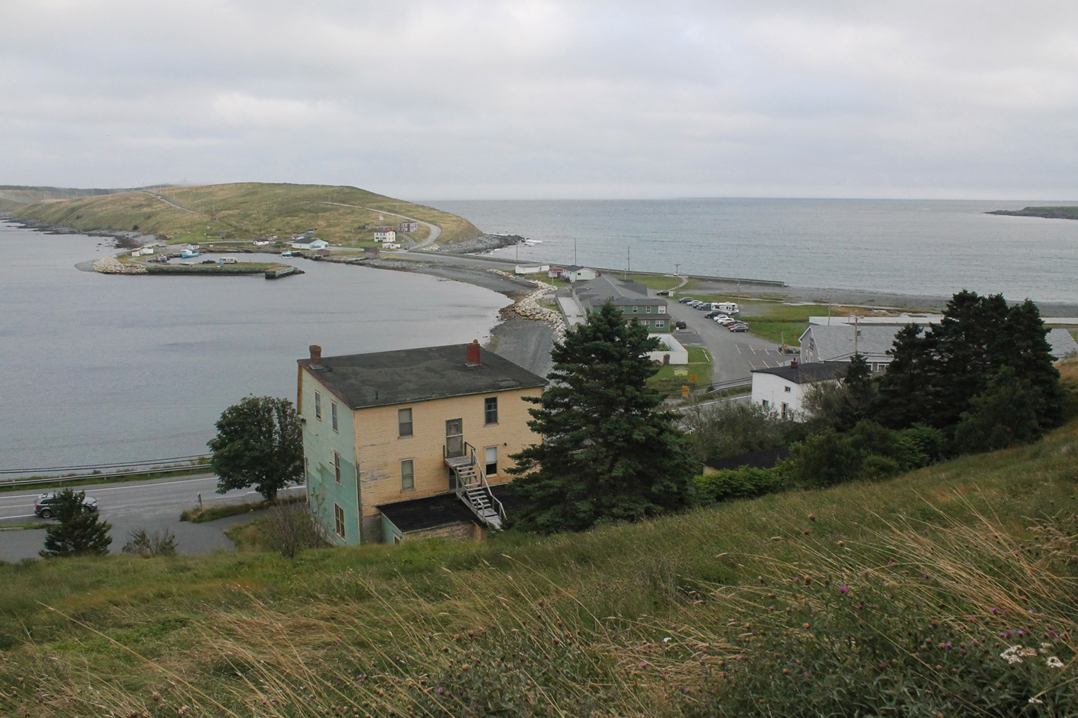
From there, the trail enters scenic Ferryland, passing over road until it meets with the old railbed and travels behind the community along that path. There are side trails available, including one over the Gaze which promises an even more spectacular view of the community, but it was unclear which of the side trails heading up the hill went to the Gaze so we decided to stick to the main trail. The trail ends at the trailhead in Ferryland just past the Colony of Avalon buildings. It’s not immediately apparent where the trail leaves the railbed as the exit is not marked: watch for the Colony of Avalon buildings and keep an eye out for the exit at a wide part of the trail just past them. The trail heads down Goosewell Lane, by an old cemetary where most of the grave markers are simple stones, where it terminates.
Check out pictures from our hike below! Click for a better view in the gallery!


