 The Sounding Hills Path is one of the southernmost of the Southern Shore hikes. Make sure you’ve got your boots if trail conditions are wet!
The trail starts at the end of an unnamed “paved lane” (the truth is that I didn’t get the name and that’s how it’s described on the map) about a kilometer from the Colony of Avalon Interpretation Center, where hikers are asked to park. The road in isn’t particularly scenic, but there are goats in a field, and at the trail head, a pretty riverhead and beach. A memorial has been placed at the trailhead as well.
The trail starts across planks, through thick brush, along a rocky coastline. In the distance to the left, the Ferryland Downs are visible. A couple of hundred meters in, the trail comes to the edge of a short cliff overlooking Crow Island, after which the trail heads inland through some woods. At Seals Cove, a “side trail” leads down to the rocky shore… I wanted to check it out but Heather, acting as safety director, called it off. You’ll see in the pictures below why she discouraged me.
Through fields filled with reeds topped with cottony flowers, the trail winds in and out along the coast, passing a couple of viewpoints worth checking out including one at Herring Point. At one point about 3 km in, the trail opens onto a wide, grassy ledge that’d be a great place to set up camp or to stop for a picnic. From there the trail climbs inland, providing a spectacular view of Aquaforte Harbour from atop the hill, where we stopped and ate a lot of blueberries.
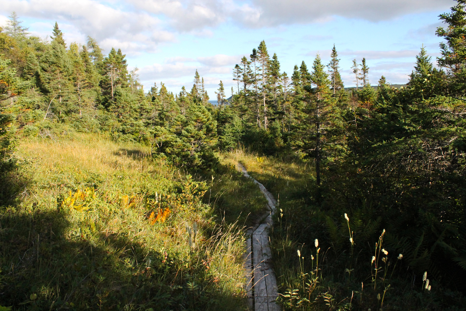
Crossing over some loose stones, always a favorite of Heather’s, the trail passes alongside a beach at Fairmouth Cove. The map says a trail was being cut to the beach at the time of writing (2002), but I couldn’t find the trail (2014). A couple of scenic river crossings above Fairmouth Cove and a trail built into the hillside follow, after which the trail climbs uphill and passes close to the Southern Shore Highway, a point marked by a bridge. Winding through woods and wetlands across planks, the trail heads downhill to Spout River, where it continues alongside of it for 500 m until it meets the road.
Check out the pictures of our Sounding Hills Path experience below! Click on them for more detail!


