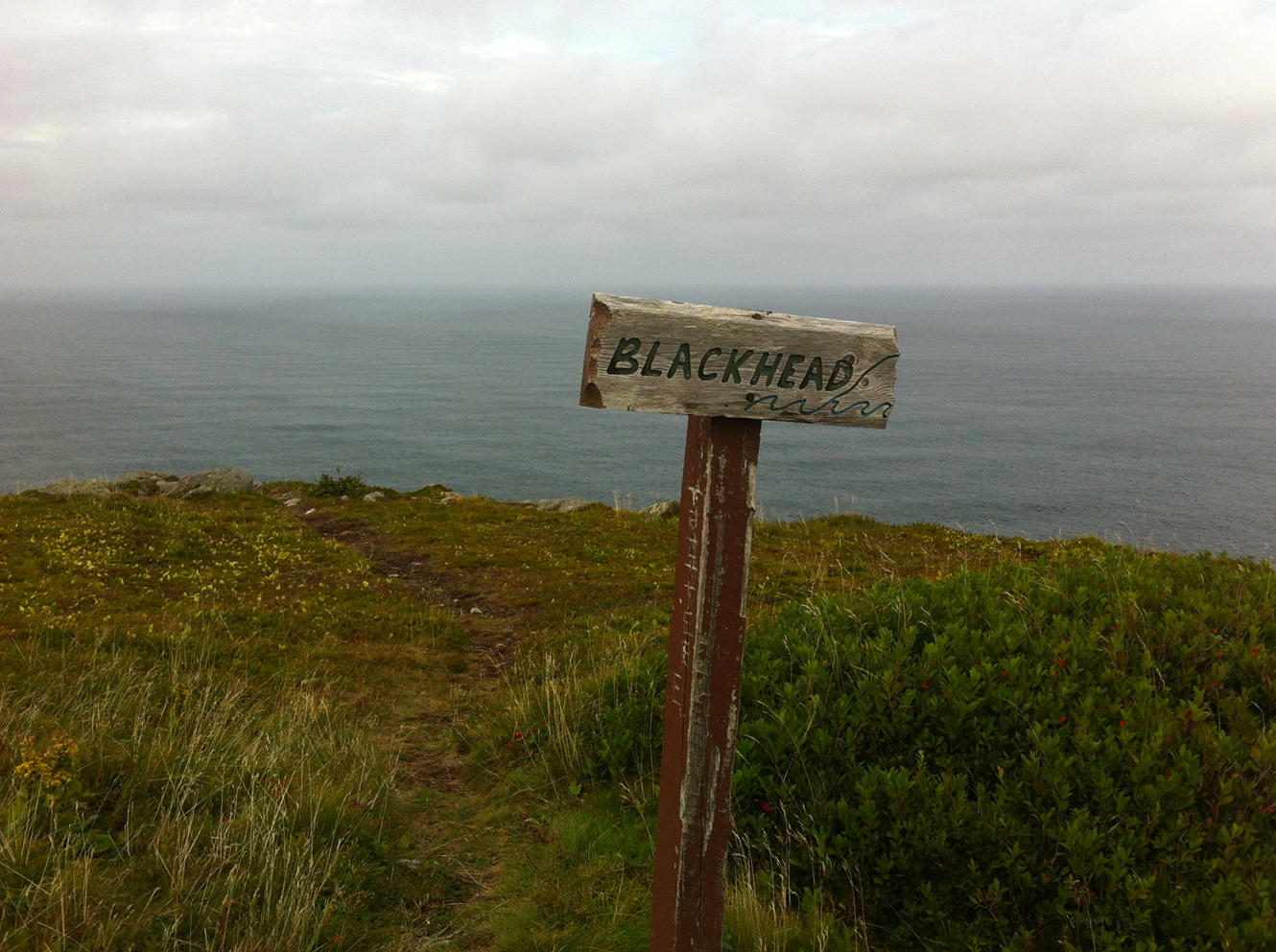
 Blackhead Path is the perfect afternoon hike: a nice up-and-down over a relatively short hike (just over 3 km), with some beautiful scenery, historic sites, and a variety of terrain.
The hike begins in scenic Blackhead, a tiny community on the drive to Cape Spear. Parking in the designated area, hikers walk down a private drive and skirt around a property where horses are kept, crossing over rocky terrain at the property’s edge. Leaving Blackhead, the trail follows the coast for a few hundred metres, crossing a couple of wet patches, before starting on the single significant climb on the trail. The path winds up over the barren hill to an old track which brings hikers to Blackhead, where the remains of a decoy anti-aircraft battery are found, two circular holes lined with stone. Past the dummy fort, the trail heads back down the other side of the hill.
Climbing down over the hill which is rocky in a couple of spots, the trail meets back up with the coast and passes some spectacular rocky shore. Of particular interest is the side trail to Cantwell’s Cove, which apparently once featured a loading crane. The trail heads toward the road at this point and terminates near the parking lot at the Cape Bay end of the Cape Spear historical site.
Check out the few pics below!

The trail starts at the end of a private drive. The bare-legged hikers in front of us got pretty cold… be prepared folks!

The trail rounds the private property.

Hikers should leave the horses alone!

The trail heads inland and uphill relatively quickly.

Bottle Cove maybe?

Atop the hill, an old track leads to Blackhead.

The view of Cape Spear from Blackhead.

The remains of the dummy fort at Blackhead.

Cantwells Cove, off the main trail.

A cobblestone beach near the end of the hike.

A gulch, Paper Cove maybe, at the end of the hike.

The trailhead in Blackhead.

Slob ice at the bottom of Blackhead Bay.

A look back at Blackhead. It’s a bit too bright to see much detail, but trust me, there’s not much of a trail here.

At the top of the hill, the sign looks to have been damaged this winter.

The trail is easier to follow from here.

The first dummy fort at the top of Blackhead.

Blackhead.

Rounding the top of brown, windblown Blackhead, Cape Spear is striking.

The second dummy fort.

The trail markers make it easy to stick to the trail on the other side of Blackhead.

A look back at Blackhead from the south.

The snow has melted to reveal planks in a couple of spots.

The first view of the trailhead.

A couple of hikers enjoying the weather.

Some spots have opened up. Some hikers plow right through.

Snowshoes necessary.

Close to the trailhead, some slob ice in the coves and gulches near it.

Slob ice in Paper Cove.

Ice in Paper Cove.

Slob ice in Pilot Gulch.

Crossing an open stretch, the trailhead at last!

A look at the viewpoint at Cantwell’s Cove.

Almost back, the trail was easier to follow on the return trip. Bottle Cove maybe?

The usual wet spots are pretty wet.

A look back at Blackhead and the slob ice in the bay.
 Blackhead Path is the perfect afternoon hike: a nice up-and-down over a relatively short hike (just over 3 km), with some beautiful scenery, historic sites, and a variety of terrain.


